Toll payment becomes smart
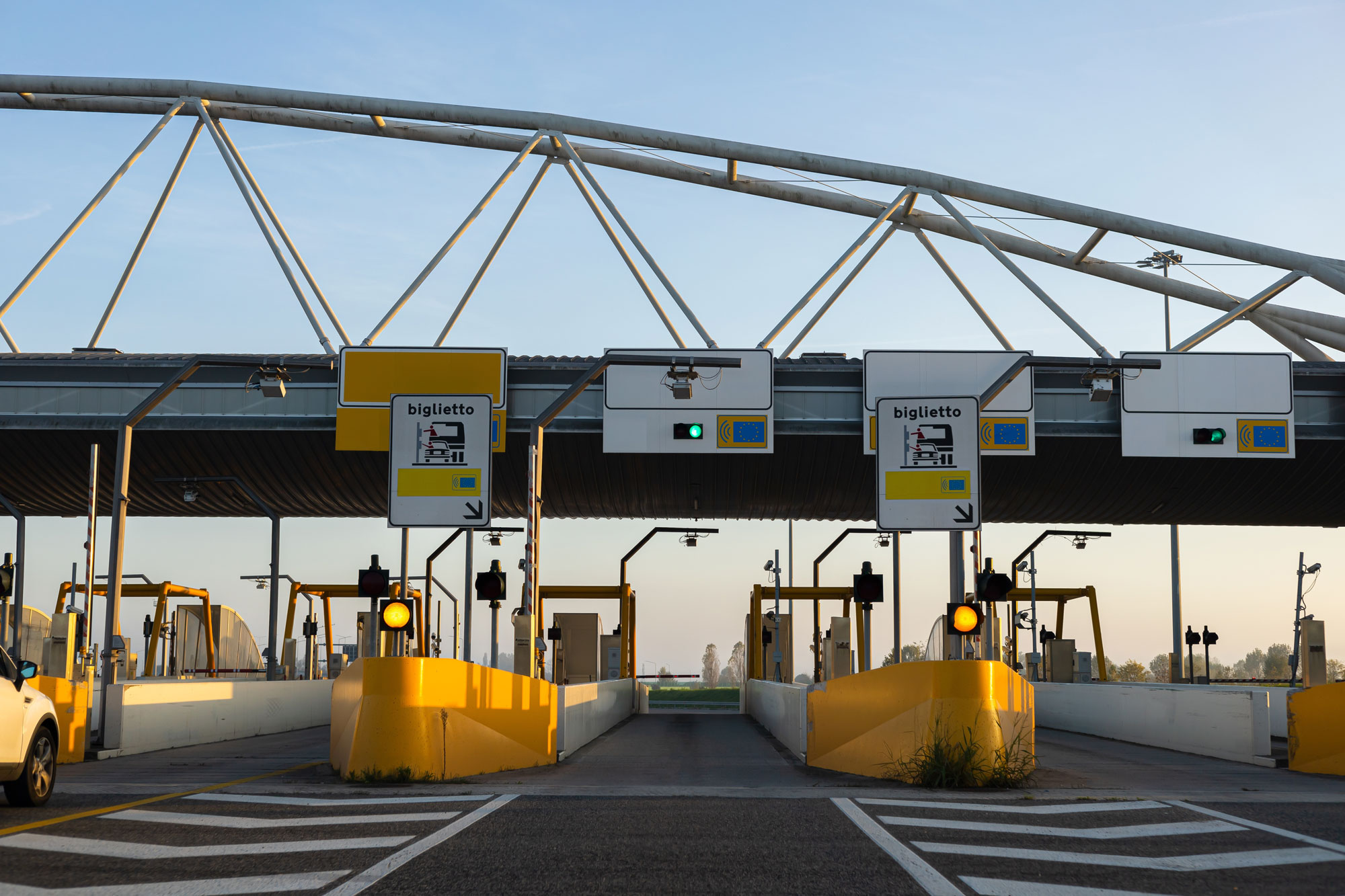
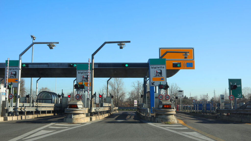
Our technology is deployed on 75% of the roads in Italy and within 20 million on-board devices for dynamic toll collection across Europe, handling over 1 billion transactions annually. We offer smart and innovative solutions for a more comprehensive and transparent toll information management, delivering a straightforward and easily understandable payment experience.
The competitive edge of our solutions for tolling
The numbers
Our solutions
Multi-Lane Free Flow
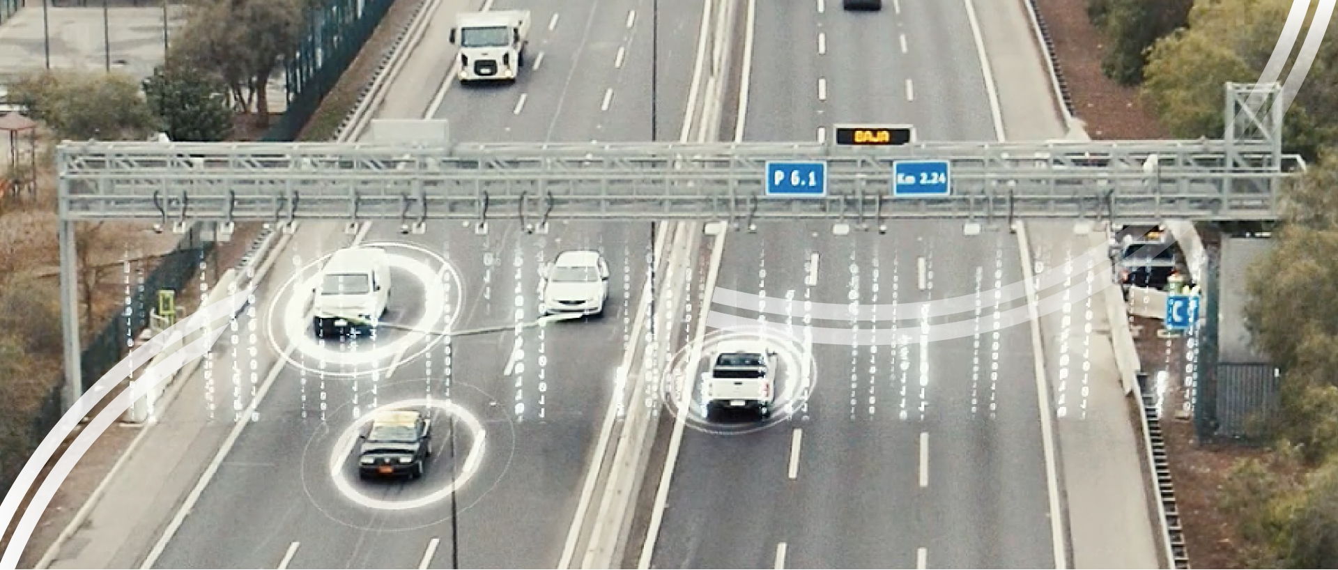
The system enables toll payment at portals along the road network, equipped with intelligent peripherals that detect, identify and classify the vehicle. The portal software links the events, assigns them to the vehicle and sends the data to the central management platform that determines the toll.
Stop&Go
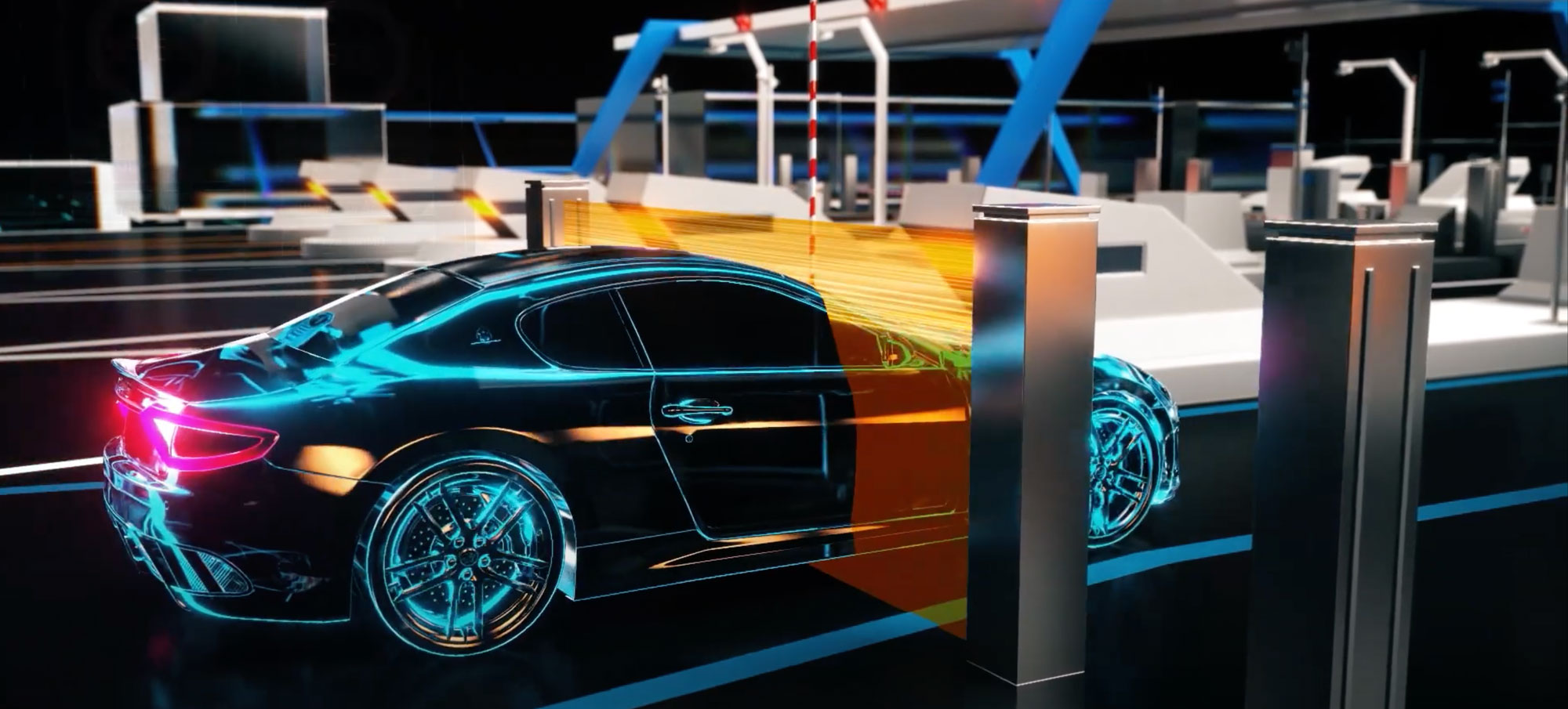
The Stop&Go solution can be implemented on different types of lanes: with operator supervision, completely self-service, with Electronic Toll Collection or in mixed mode. It consists of three sub-systems: vehicle pre-classification, toll zone and post-classification system, where the rear license number is detected and used in case of violation. A track-level application manages and coordinates all the systems, generating transaction and diagnostic information that is sent to the central system.
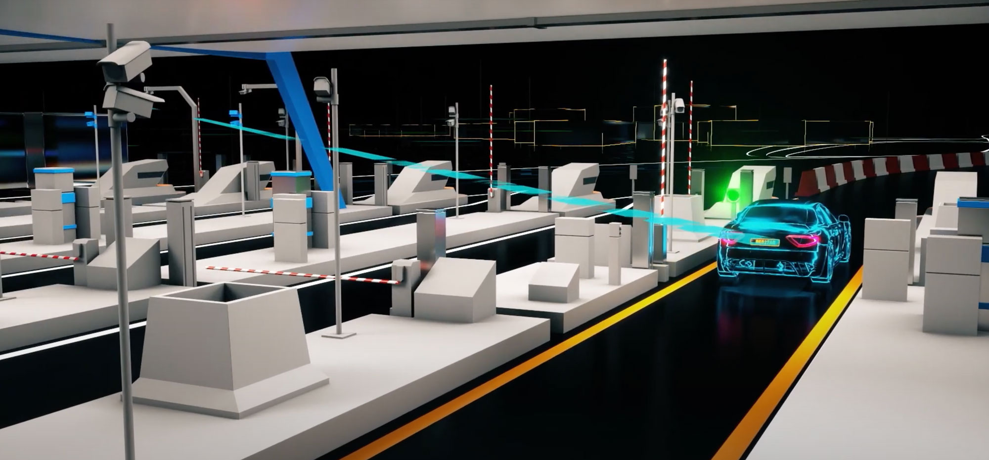
Video Tolling
Vehicle identification is based on automatic licence number recognition, with both front and rear number plate reading, without the need for any on-board unit. The end-to-end solution allows integration with external service providers. This fully electronic tolling mode can be integrated into both Stop&Go and Multi Lane Free Flow systems.

Satellite
Toll system based on OBU GNSS (satellite) that sends vehicle geolocation data to the central platform via the mobile network. Through a sophisticated Map Matching algorithm, the system processes the data and traces the route of the vehicle, allowing the route to be verified and the toll to be defined.
